Bentley Moss, United Utilities
Bentley Moss is situated at the head of Haslingden Grane valley within the Borough of Rossendale and adjoining the boundary with the Borough of Blackburn with Darwen. It forms a part of United Utilities water catchment landholdings. Bentley Moss is contiguous with Edgerton Moss to the north west and the broad ridge of moorland running 5 km south east to Holcombe Moor.
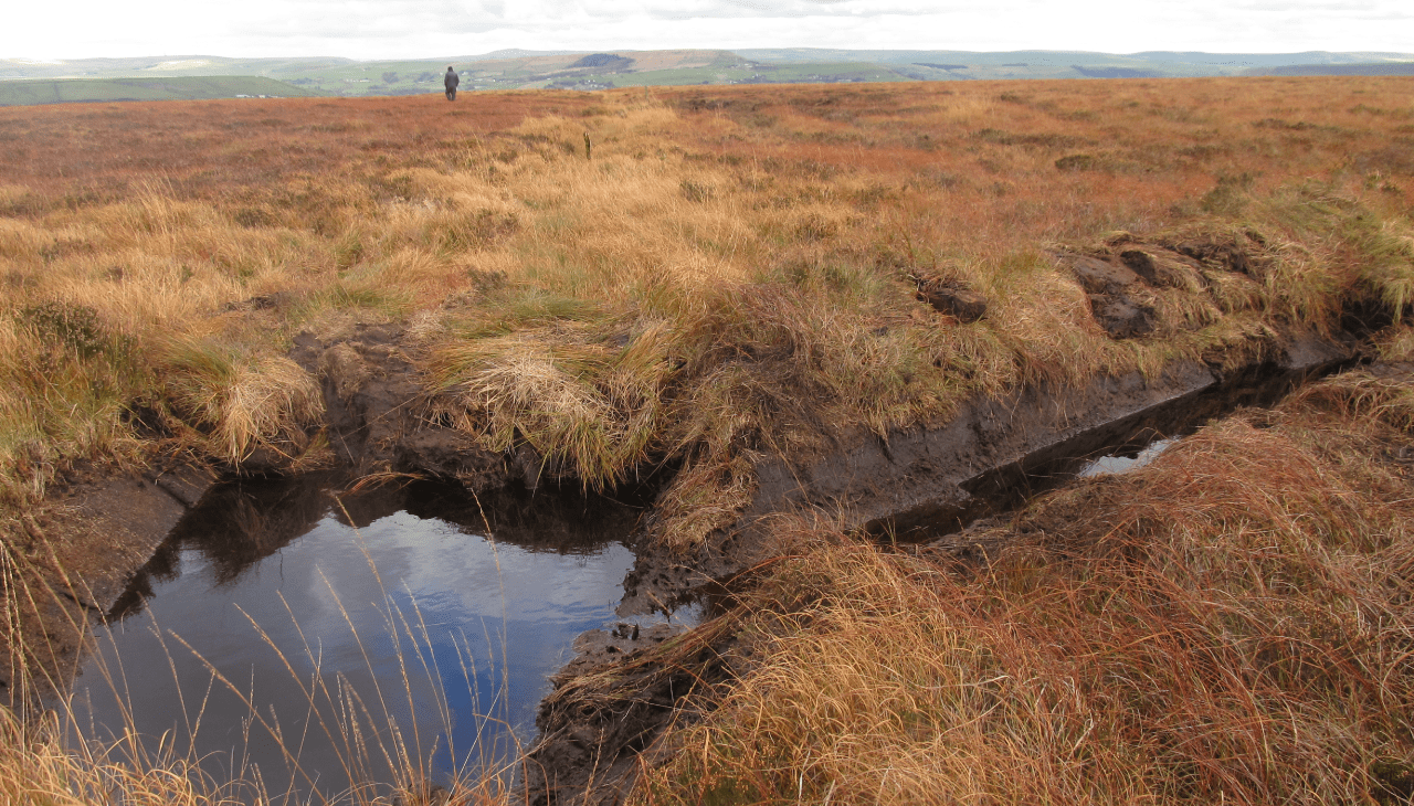
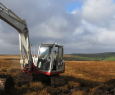
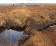
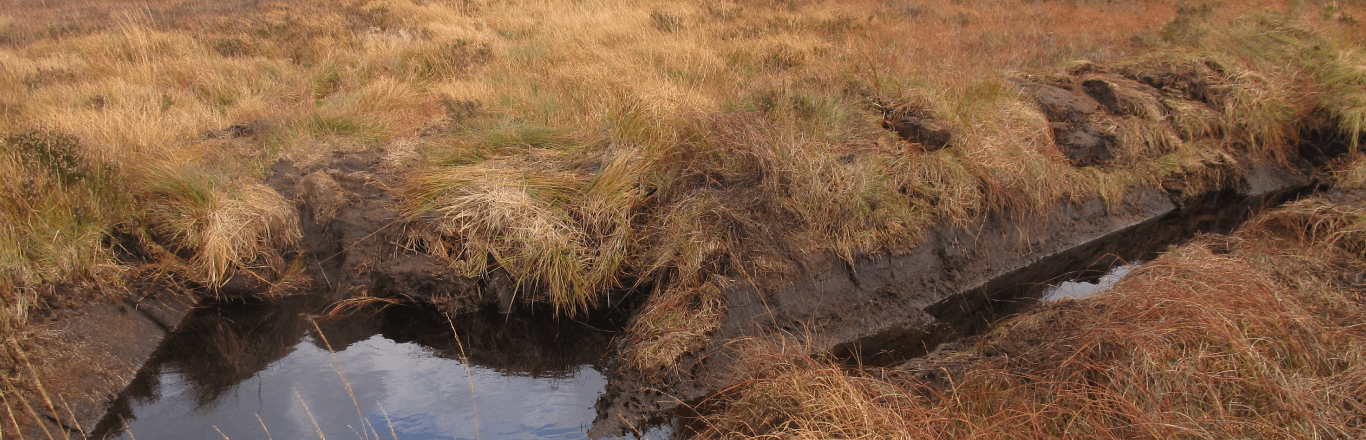
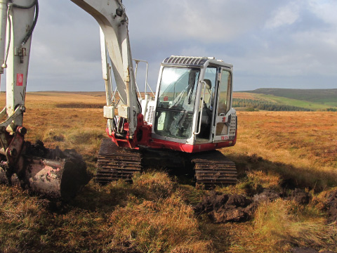
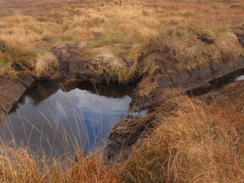
Like moorlands elsewhere in England, Bentley Moss was drained in the past by open ditches (grips) and/or below ground drains (soughs), usually for agricultural gain but also to increase water supply. This has led to habitat loss through peat degradation, serious erosion and flooding in the valleys below. The vegetation was grazed and subjected to periodic wildfires. It supports a good range of plants bog species, including Hare’s-tail Cottongrass, Common Cottongrass, Purple Moor-grass and the dwarf shrubs, Heather and Whinberry. Several species of Bog-mosses occur.
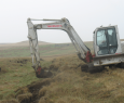
Using aerial photography and GPS ground survey of the grip systems on Bentley Moss, a project was put together to block the identified grips.
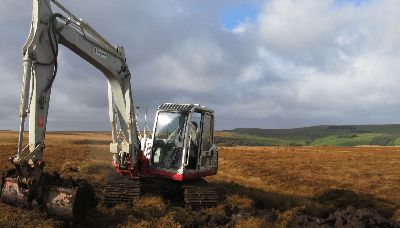
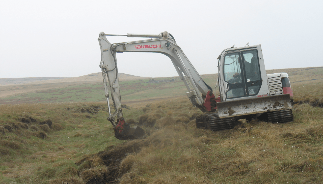
An initial phase of works were funded through Scout Moor HEF in 2008, with a second phase in 2009/10 joint funded with a Lancashire County Council ‘Our Moors Our Planet’ grant. The works comprised grip blocking and gully re-profiling to restore the blanket bog hydrology and help vegetation recovery on bare peat on gully edges. This re-wetting aims to restore the habitat and increased cover of Bog-moss, thereby improving biodiversity whilst reducing the risk of fires and detrimental impacts on water quality.
Related Projects

Capabilities
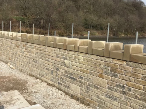
JVT Construction has over 30 years of experience in civil engineering works around impounding reservoir and headworks operation and maintenance. Our scope of services also include a full civil engineering capability for both refurbishment and new build projects.
View Our Capabilities
Sectors
We are a highly efficient and experienced local firm of civil, structural, building and excavation work specialists who are able to provide you with a range of services for your proposed project, from a small domestic alteration to a complete new build. We can work as part of a design team appointed by you, or take your project in-house from initial concept through to detailed design to fully supervised completion on site.
View Our Sectors